Archaeology & History
The Incas Believed They Controlled the Water. New Evidence Uncovered by Archaeologists Shows How They Wielded It in Ceremonies
The site at Machu Picchu was intended to demonstrate the empire's power to pilgrims.

The site at Machu Picchu was intended to demonstrate the empire's power to pilgrims.

Artnet News

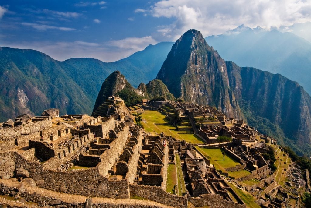
Pilgrims traveling to Machu Picchu in the 15th century were greeted by Chachabamba, a ceremonial water complex that was designed to demonstrate the power of the Inca peoples. Now researchers have used 3D imaging technology to map this unique feature of the citadel, which is today situated in southern Peru.
A team of six researchers, led by Sieczkowska Dominika of the Center for Andean Studies at the University of Warsaw, with colleagues from institutions including the Wroclaw University of Science and Technology and the National Archaeological Park of Machu Picchu, published their findings in the January 2022 edition of the Journal of Archaeological Science.

Image courtesy of Elsevier. Copyright Elsevier (2021).
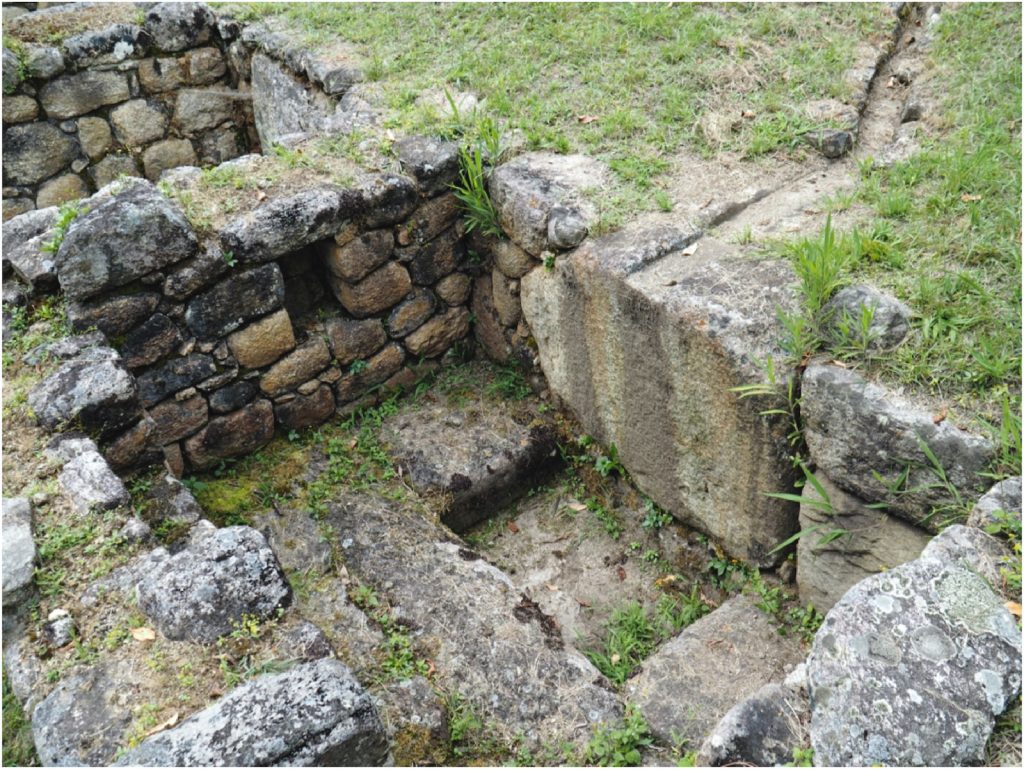
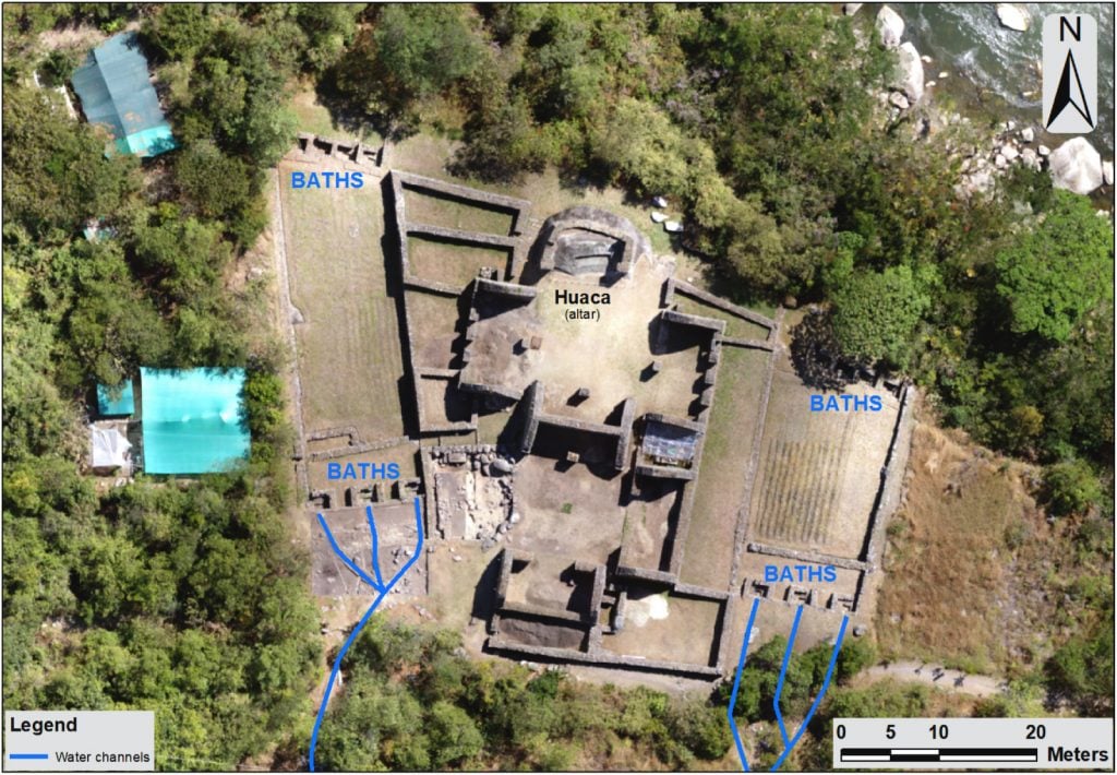
The archaeologists were studying a water complex fed by the Urubamba River that includes 14 ritual baths situated around two patios all centered on a ritual altar ringed by gardens and fountains. The researchers used computer simulations based on data from drones with lidar (light detection and ranging) systems that they say are more accurate than measurements made by lasers from helicopters, which have to fly higher and thus are unable to take measurements as precise as the ones gained with a lower-flying drone.

Image courtesy of Elsevier. Copyright Elsevier (2021).
The Incas believed control of water was a superhuman power granted them, and used it to telegraph their divine status in territories they conquered, from Argentina to Ecuador, says the paper. Their elaborate hydraulic systems justified their rule, and the researchers believe Chachabamba was a major center of political power, owing to the numerous archaeological sites with complex water systems nearby. In a region with tidal activity that can lead to landslides, the control of water flows was crucial.
The system was in operation until mudslides in 2012, but has since been overgrown by dense vegetation. Part of the system was destroyed, and the current study was conducted to answer such unknowns as how much water flowed through the system, which watercourse flowed into the system, and how fast. The light water flow evinced in the researchers’ lidar images is part of the basis for their conclusion that the site’s use was ceremonial rather than functional, supplying residences with water.