Archaeology & History
Lost Mayan City Hidden Deep in the Mexican Jungle Revealed Using Laser Technology
The city has been dubbed Valeriana after a nearby lagoon.
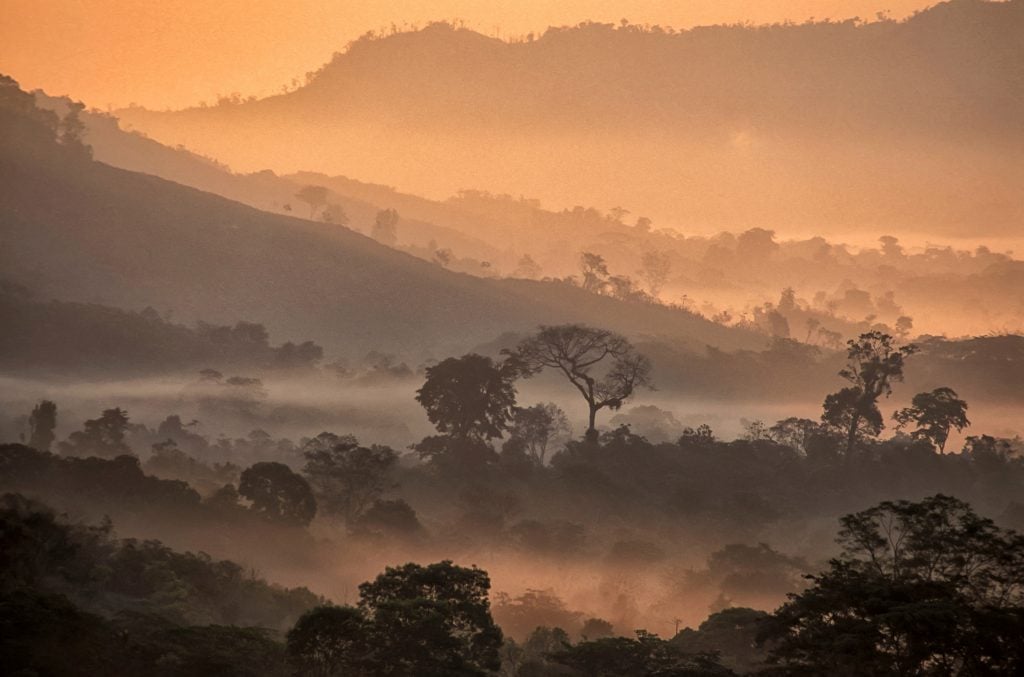
Last year, Luke Auld-Thomas, a researcher specializing in Mayan settlements at Tulane University in New Orleans, was poring over a Mexican environmental monitoring survey, when he spotted something that had gone unnoticed for more than a decade. There, among the data in a 2013 airborne LiDAR study—a process of mapping the earth by firing lasers from an airplane—was a vast and previously unknown Mayan city.
The city has been buried beneath the dense jungle canopy in Campeche, the southeastern Mexican state, for centuries. Whatever name it once held has long been lost; Auld-Thomas and his team labeled it Valeriana after a nearby freshwater lagoon.
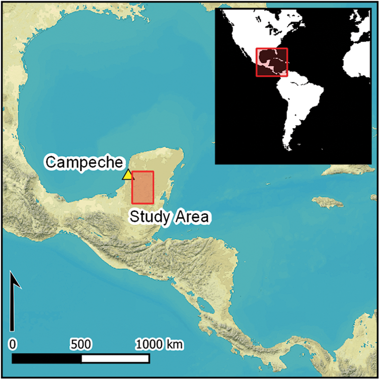
A map of the region covered by the LiDAR scane. Photo: Antiquity.
Valeriana, the researchers noted in an article published in the journal Antiquity this month, boasts all of the hallmarks of a Mayan political center including multiple enclosed plazas, temple pyramids, a ball court, a dammed reservoir, and a curved amphitheater. Despite such apparent archaeological wealth, Valeriana may never be thoroughly examined on the ground, let alone excavated.
This fact points to the rapidly changing understanding of what Maya culture looked like during its peak, a rough span of time from 250 to 900 C.E. known as the Classic Period. While it was long known that the Maya had transformed the rugged interior across large swaths of Mexico, Guatemala, and Belize, an area known as the Maya Lowlands, it was thought that this part of Campeche was, at best, sparsely populated.
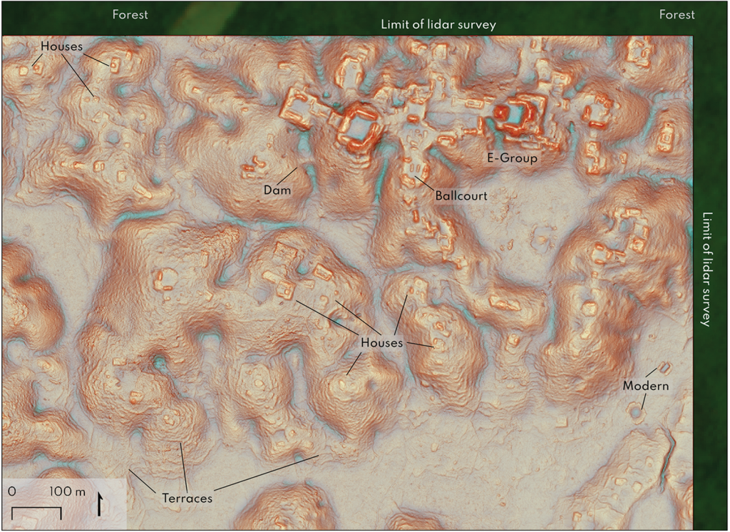
Detail of Valeriana site core shown by LiDAR. Photo: courtesy Antiquity.
Valeriana suggests otherwise. With more than 6,500 structures identified across 6.5 miles-squared, researchers believe the city likely supported up to 50,000 inhabitants. It’s thought to have been the second largest settlement after Calakmul, which was rediscovered in the 1930s, and likely existed within a network of settlements—some found, such as nearby Dzibilnocac and Santa Rosa Xtampak, and others yet undocumented.
“The accumulation of research has simply turned up more of everything than the discipline contemplated previously: more settlements, more cities,” researchers stated in the study. “It thus remains an open question whether those areas as yet unmapped by archaeologists hold further evidence of a dense past or reveal a less densely occupied corrective.”
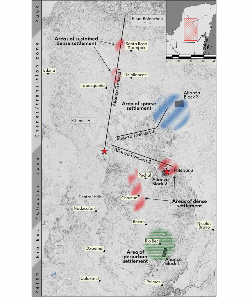
Sites and settlement densities from the survey area. Photo: courtesy Antiquity.
LiDAR may help settle this question. Over the past decade, the technology has revolutionized land surveillance in Central America (and beyond) allowing researchers to cover greater distances with a fraction of the effort previously required. What’s more, researchers can use LiDAR datasets collected for non-archaeological purposes, such as ecological monitoring and civil engineering. Valeriana, for example, emerged from a forest monitoring project conducted by Mexico’s Nature Conservancy.
To a certain extent, the researchers believe this and previous findings have settled the case on how Mayan populations were distributed across the land.
“Anyone who is waiting for a sparsely settled Maya hinterland large enough to offset the high settlement densities documented by archaeological LiDAR surveys is running out of places to look,” they noted.


