People
Yale Scientists Uncover Startling Secrets On Faded Map That Guided Christopher Columbus to America
Scientific imaging reveals a 15th-century map's hidden secrets.
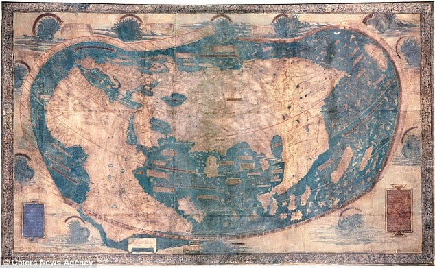
Scientific imaging reveals a 15th-century map's hidden secrets.
Eileen Kinsella
 ShareShare This Article
Scientists at Yale University have been using multispectral imaging on a 15th-century map believed to have been used by Christopher Columbus in order to glean more information and hidden details, according to reports in the Smithsonian magazine. To date, they have uncovered where Japan was thought to have been at the time—around where the Bahamas actually is—as well as passages from travelers (see Ancient Solid Gold Drug Paraphernalia Discovered in Southern Russia).
The map had been virtually unreadable because of severe fading on its surface but the multispectral imaging technique has uncovered information that may have been right at Columbus’ fingertips. The scientists use 12 frequencies of light, ranging from ultraviolet to infrared, as well as imaging tools and layering techniques. They have uncovered hundreds of place names and more than 60 written passages (see 2,700-Year Old Shipwreck Discovered)
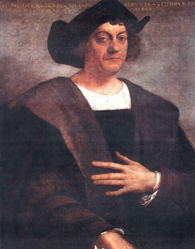
Christopher Columbus.
Image: via Bio.com
It was created by a German cartographer, named Henricus Martellus, working in Florence at the time. It shows Asia, Africa, and Europe but not the Americas. According to the Smithsonian magazine’s June issue, when Columbus landed in the Bahamas, he mistook the island for Japan, “a mistake consistent with Japan’s location on the map” (see Newly Discovered Ancient Cave is Apparently America’s First Casino).
Independent historian Chet Duzer told the Smithsonian “It’s a missing link in our understanding of people’s conception of the world.” The document is currently being held at Yale University’s Beinecke Library.
Martellus relied on Claudius Ptolemy’s projections combined with more recent discoveries, such as details from Marco Polo’s journeys and Portuguese travels around the Cape of Good Hope.
While the map is undated, researchers say there are clues it was created in 1491. It quotes from a book published that year and there are indications that Columbus consulted the map itself (or a copy) before his historic 1492 voyage.